Rivers

Three of North Carolina’s major river basins—the Roanoke, the Cape Fear, and the Yadkin-Pee Dee—traverse the NC Triad, making it home to some of the most diverse watersheds in the country. The Piedmont Triad is home to three state designated paddle/water trails – the Yadkin River State Trail, the Dan River State Trail (in the Roanoke river basin), and the Deep River State Trail (in the Cape Fear river basin).
- The Yadkin River State Trail is a 163-mile designated paddle/water trail traveling through the foothills of North Carolina from Wilkesboro, passing through Pilot Mountain Mountain State Park, and finally down to the Uwharrie National Forest in Montgomery County. This river also has several tributaries that provide even more paddle opportunities – the Ararat, Fisher, and Mitchell rivers in Surry County; the South Yadkin River in Yadkin County; and the Uwharrie River in Montgomery County.
- The Dan River State Trail is a 90-mile paddle/water trail that crosses the North Carolina/Virginia border eight times as it flows from the Blue Ridge Mountains to the Kerr Reservoir in Virginia. The trail has 19 river access points, including a connection to Hanging Rock State Park. This river also has several tributaries that provide even more paddle opportunities on the Mayo River and the Smith River in Rockingham County.
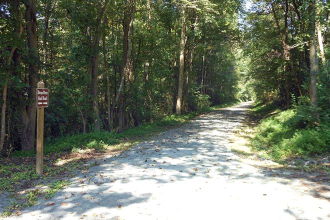
- The Deep River State Trail is both a land and water trail that begins near Greensboro and flows through Randolph County until finally reaching the Haw River. Sections of both the land and water trail are currently being built.
- Another favorite paddle trail in the Cape Fear river basin is the Haw River Trail. While not a state designated trail, the Haw River Trail Association has done tremendous work to create a 50-mile paddle trail through Alamance County.
Paddlers can experience the natural beauty of our region on any of our waterways. These rivers not only provide great wildlife viewing opportunities for fish, birds, and turtles, but also scenic rock outcrops and geologic formations, and an opportunity to travel through time with many historical landmarks, such as the Upper Saura Village on the Dan River (home to the Saura Indians until the 18th century).
Please visit the individual river pages to learn more about specific access points on each river, or sort through the listings below to find all river access points in the NC Triad in one place. Either bring your own canoe/kayak or rent a vessel from one of our outfitters. These outfitters also provide shuttle services along the rivers.
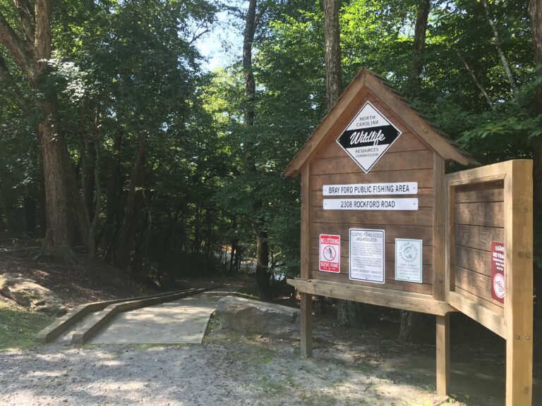
- The fishing area consists of a parking lot with 11 parking spaces and a turnaround area for trailers; a set
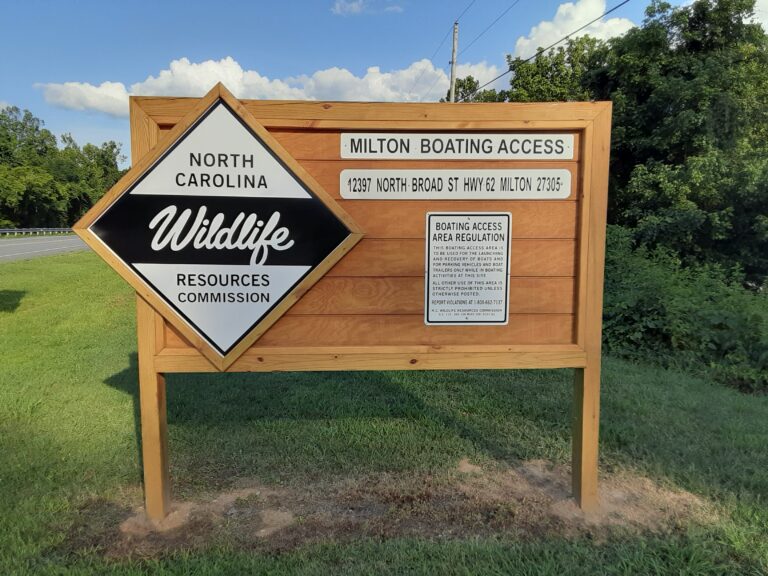
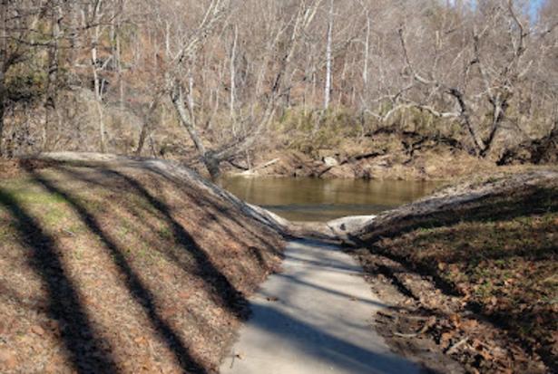
- Concrete boat ramp on the Dan River.
- This short, flat-water stretch of river is perfect for beginning paddlers. The one-mile section of river is backed-up by the
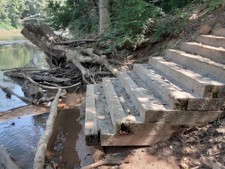
- Access to Fisher River
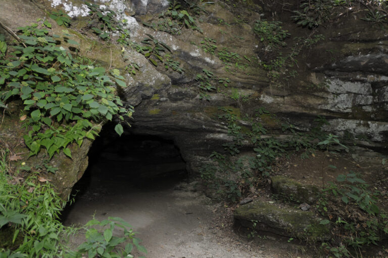
- Boone’s Cave Park is located in western Davidson County. The park is 100 acres and offers hiking trails through a
- The Dan River Access on the north side of the park provides parking and a ramp for fishing, paddling and
- The Deep River Nature Trail in Randleman is a passive park area. Here, hikers can access the 1.5 mile Deep
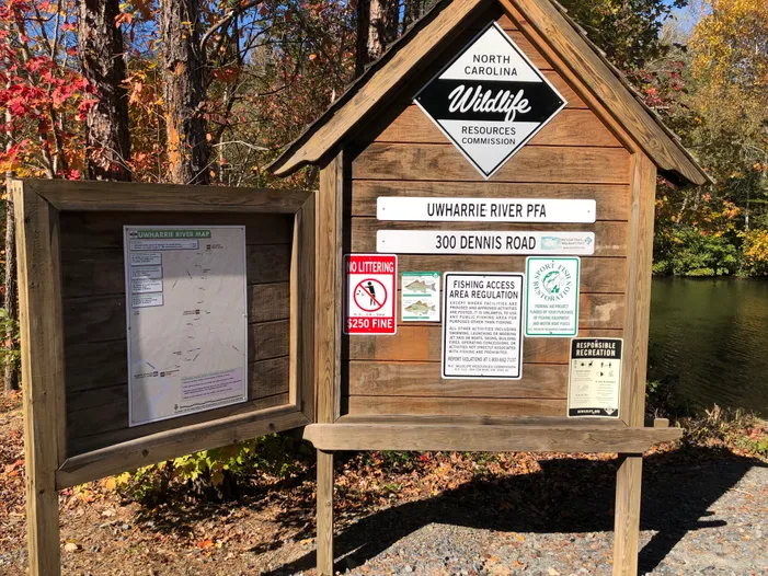
- NC WRC maintained access to the Uwharrie River at Dutchmans Creek.
- The park features an impressive stone dam, a sandy beach deposited there by a flood, and good fishing in the
- Great Alamance Creek’s closer banks also mean more of the creek is shaded by a dense hardwood canopy, a welcome


